|
rapidtransit.net |
book review | ||||||||||||
|
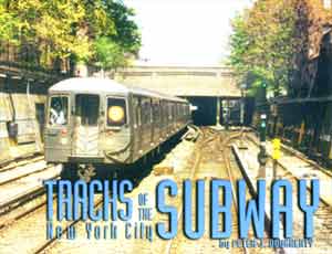
Tracks of the New York City Subway
Incredible Detail for the Subway
Buff Reviewed by Paul Matus It would be hard to think of anything more New York than its extensive and complex subway system. The intracacy of the system is daunting to even the most experienced urbanite, not to mention the casual visitor. Over the years, many maps, both official and commercial, have been produced which have tried to simplify the task of navigating the system for the mere mortal. But what of the person who wants to know more than is provided by a route map of the subway? One who wonders where that spur line goes to. One who stares out the front window and tries to mentally plot the ins and outs of a complicated junction. For those for whom your standard subway map is just not enough , nothing beats a track map, one with every twist and turn, every switch and side track. Such maps are hard to come by, and, even if you are able to find them, difficult to read, usually being drawn for internal use by the electric engineering or maintenance departments, not the casual reader. Now Peter Dougherty has assembled a detailed, comprehensive and comprehensible book of all of the New York City subway system's trackwork, and much more. One wonders who this New Yorker is who undertook such a labor of love, and finds out that he is not a New Yorker at all, but a Canadian. The Origins of the
Book
You want detail? This excerpt from the
mid-Manhattan portion of the track map book shows some of the level of
detail provided in the printed book. The printed version is sharper than
this scan. Tracks of New York City Subway.
| |||||||||||||
|
Return to Book Review
Home
Everything on this site is copyright 2000 by The Composing Stack
Inc., except as otherwise noted. Last updated March 17 , 2000 | |||||||||||||